NurNet+
Remade in 2026 · first version 2022 · Open source, MIT
An unofficial map of the sites of nuragic Sardinia: nuraghi, domus de janas, giants' tombs, sacred wells, villages, menhirs, dolmens and the others surveyed by the NurNet project. It takes the NurNet census, about 7,500 sites, and makes it quick to use on a phone, out in the field as well as at home.
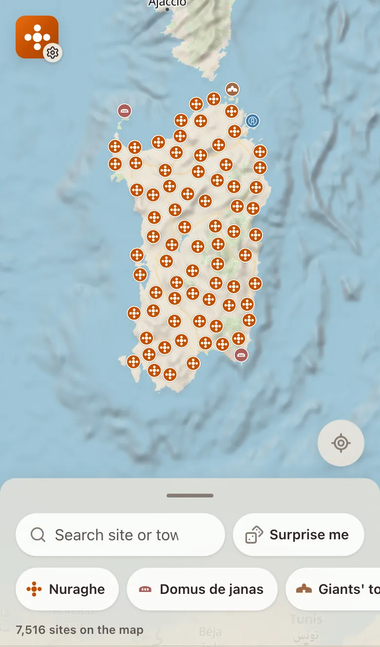
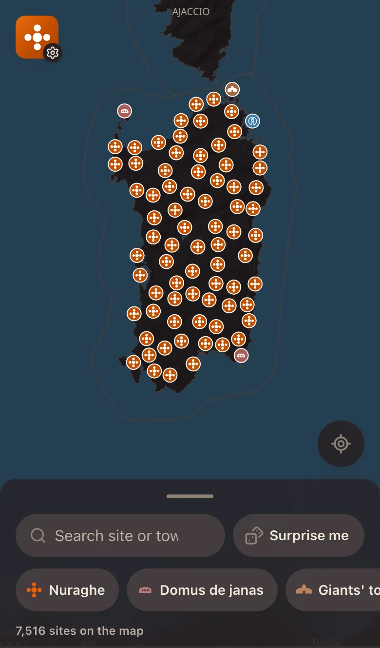 The whole census on one map
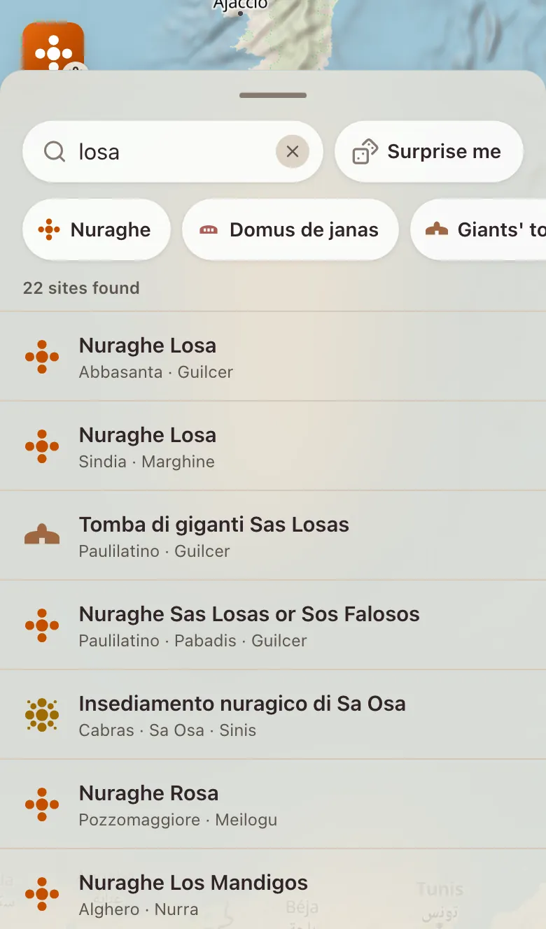
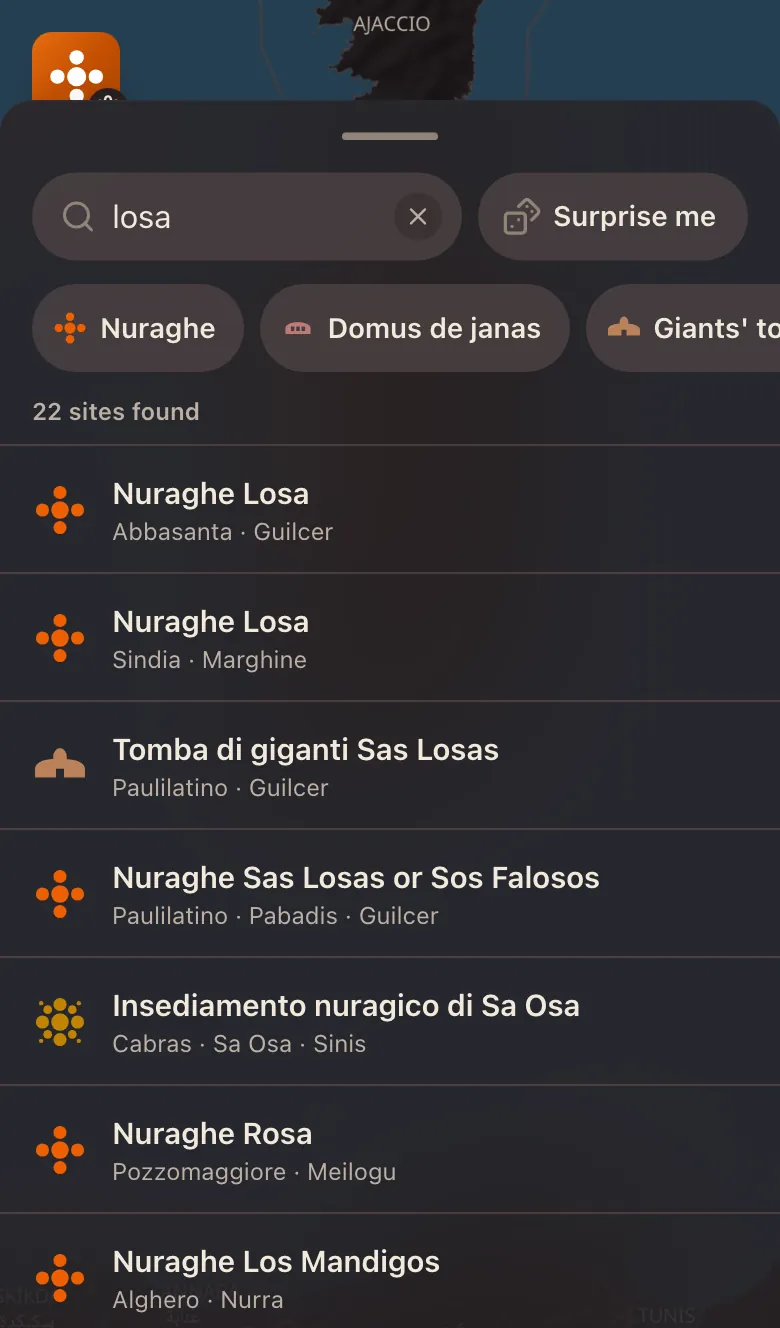 Search by site or town
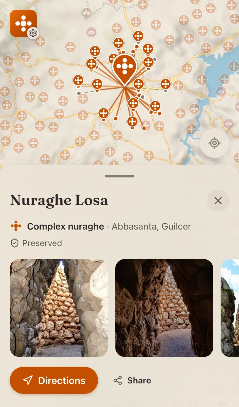
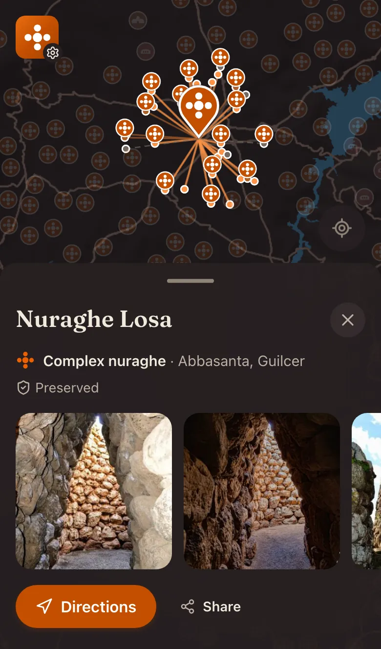 A site, its sight lines and photos
What it does
- Search
- By site name or town, with the results highlighted on the map. Filter by type, or let “Surprise me” open a random site.
- Each site
- Its type, place and state of conservation in the census's own terms, with photos and videos from the NurNet Mediateca.
- Sight lines
- Between nuraghi, computed by CRS4 on the digital terrain model and drawn from one tower to another.
- 2D or 3D
- With the terrain brought out when the map is tilted.
- Offline
- An installable app with the site data saved alongside it, and the map already seen kept on the device, up to about 100 MB.
- Italian and English
- The English descriptions are machine translated; a site whose translation failed the checks keeps its Italian text.
No accounts, no cookies, no analytics. Your location is used only when you tap “Show my location”, and it never leaves the device.
How it's built
- Front end
- Nuxt 4 and Nuxt UI, with a MapLibre GL map: 3D terrain, contour lines and the sight lines between nuraghi
- Data
- The NurNet census of about 7,500 sites, searchable with MiniSearch, in Italian and English
- Offline
- An installable PWA that keeps the site data and up to about 100 MB of viewed map on the device
- Testing
- Playwright end-to-end tests of the built site, including the map itself
- Nuxt 4
- Nuxt UI
- MapLibre GL
- MiniSearch
- Nuxt i18n
- Vite PWA
- Playwright
The census comes from the Geoportale NurNet, made by CRS4 with the Fondazione Nurnet and released under CC BY 4.0. I collect it with nurnet-dumper, which also makes the English translations. NurNet+ is independent and unofficial: it is not made or endorsed by NurNet, the Fondazione Nurnet or CRS4.
The first version
2022
The first NurNet+ was a Nuxt 3 app with an OpenLayers map and Fuse.js search, and it reused the gesture-driven drawer from the AirCam Nuxt 3 rebuild. In 2026 I remade it: the map moved to MapLibre GL with 3D terrain and contour lines, search moved to MiniSearch, and it gained the offline map, English and end-to-end tests.
- Nuxt 3
- Openlayers
- Fuse.js
- GSAP
- VueUse
- Tailwind CSS